Trails & Conditions
Bragg Creek Trails is dedicated to preserving and enhancing the natural beauty of the area by providing sustainable, multi-use trails. Our mission is to inspire and foster a strong community of nature lovers through accessible, well-maintained trails for all to enjoy.
This page is sponsored by: Calgary Cycle

Current Conditions
Friday Dec 12 – Friday Dec 19
Whilst we hope for fresh snow on Friday evening, we are expecting very warm weather through to Tuesday, Dec 17. With fresh soft snow combined with warm temperatures, snow tread on both single track and ski trails will be prone to hiker post-holing, fatbike rutting and increased exposure of rocks and roots. We suggest limiting trail use to mornings whilst the tread is still frozen.
The cold returns on Wednesday. It is likely that trails will be glazed and icy. Traction aids (studs/spikes) are recommended when hiking or fatbiking.
Place your cursor or finger on the trails list to scroll the full list
Current XC Ski Conditions from Nordic Pulse
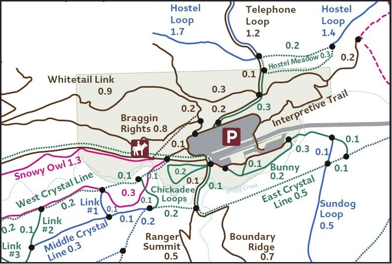
Downloadable trail maps
Download a pdf version on the maps here or track your position on the maps via the AVENZA app.
Directions to Trail Access
For the West Bragg Creek trail head access, follow Balsam Ave to the bridge, turn left onto Centre Ave.
Continue west for 9.3km to the West Bragg Creek Provincial Recreation Area or parking lot.
Maps for additional access points:
Etiquette
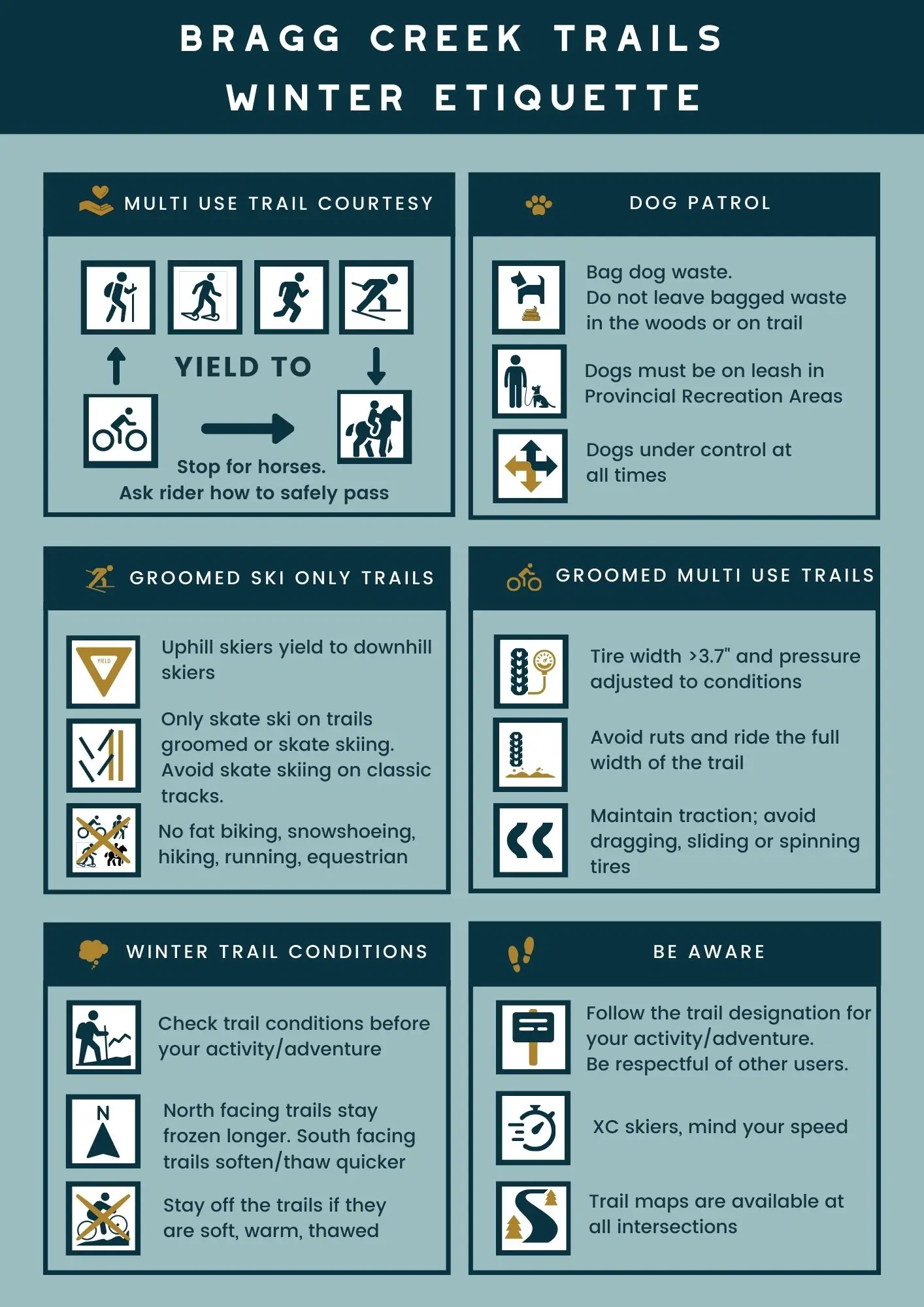
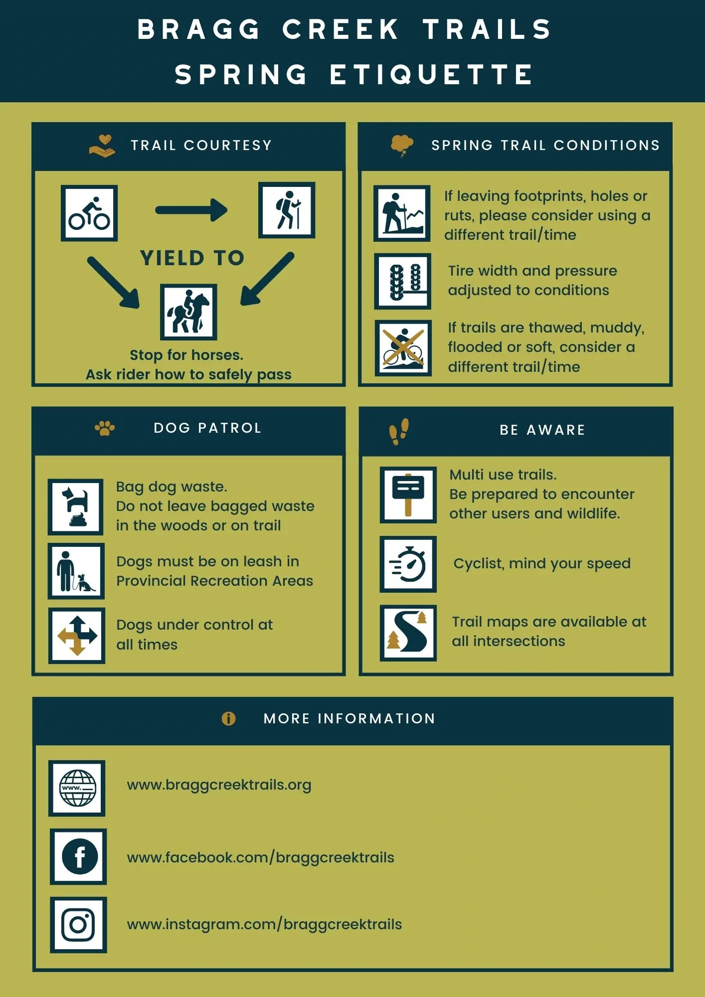
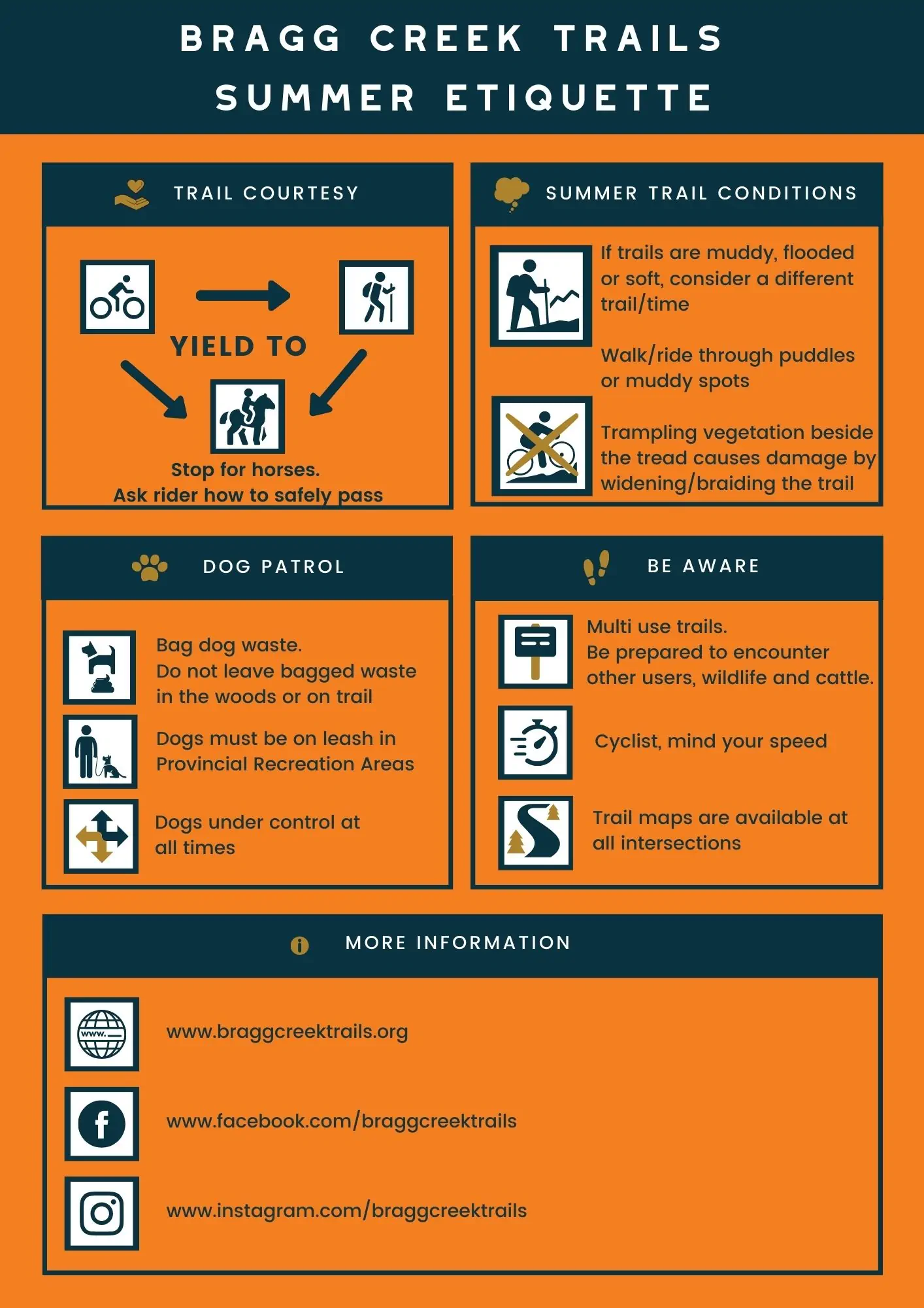
Trail Use Guidelines for the West Bragg Creek (WBC) Trail Network
The West Bragg Creek trail network is a multi-use system designed for all to enjoy. We welcome a variety of activities and encourage users to be mindful of trail etiquette and the experience of others. Below are some guidelines for specific uses:
Dogs
Dogs are welcome on all WBC trails. By definition, they must remain on-leash, which ensures their presence is compliant with the Provincial Recreation Area (PRA) regulations.
Sleds
Various sled types are permitted on our trails, including child chariots, pulks, and adaptive ski sleds. However, users operating kick sleds (where the operator is not on skis) should avoid “skier-only” trails.
Recommended Trails for Multi-Use Activities
For the best experience with sleds or other non-skiing activities, we recommend sticking to multi-user trails that are regularly snow-groomed or naturally compacted by frequent traffic.
Suggested Trails Include:
- Mountain Road: Flat and relatively easy; users should stay to the non-track set side. Can be combined with West Meadow-Middle Tom Snow, though that section may be soft. Alternatives include Snowy Owl between the Beaver Dam and Old Shell Road or West Meadow, as they are typically well-packed.
- Telephone Loop & Old Shell Road: Long trails with steep downhills, but relatively wide for a comfortable experience.
- Snowshoe Hare West-DemiTel-Reconnect: A mix of wide sections and elevation gain, suitable for adventurous users. Can be combined with parts of Telephone Loop.
- South Elbow Trail to Elbow/Iron Springs Junction: A scenic and enjoyable option with multi-user appeal.
Trail Safety and Responsibility
At Bragg Creek Trails, the safety of our visitors, volunteers, and staff is of utmost importance. Please be aware that we do not provide safety resources and search and rescue services.
For the safety of all, the public is not permitted in Bragg Creek Trail’s vehicles and our volunteers and staff are not authorized to perform rescues, provide first aid, or engage in emergency responses without direction from Kananaskis Emergency Services (KES) or other appropriate authorities.
We encourage all trail users to plan ahead, carry the necessary safety equipment, and familiarize themselves with emergency contact information before heading out. By doing so, you help keep yourself and others safe.
Thank you for your understanding and cooperation as we work together to maintain a safe and enjoyable trail network for everyone!

 Trail Forks
 Nordic Pulse
