When wildfires rage, their impact reaches far beyond the flames. One of the most immediate and widespread dangers is the smoke they send billowing into the sky—thick, hazy clouds that can travel hundreds of kilometres and drastically alter air quality. This invisible threat lingers in the air we breathe, carrying fine particles and harmful gases that can pose serious risks to human health and our environment. As wildfires become more frequent and intense due to climate change, understanding the connection between wildfire smoke and air quality is more important than ever.
Depending on a variety of factors, such as length of time spent outside, your current health status, your genetic background, and/or the overall concentration of pollutants, air pollution can irritate lungs and airways, make it harder to breathe, and worsen chronic diseases like heart disease, bronchitis, emphysema, or asthma. These negative health effects worsen as the air quality deteriorates. Those at highest risk of being affected are children, seniors, pregnant women, people with lung disease, and those who are involved in strenuous work outdoors or vigorous physical activities.
Alberta Health Services recommends the following to help protect your health when the air quality is poor. Closely monitor possible symptoms, such as breathing difficulties, coughing, or irritated eyes. Consult your doctor to discuss risk factors and your current health status. Reduce intensity of outdoor activities or reschedule altogether. You can also monitor current air quality in your neighbourhood or chosen recreation destination.
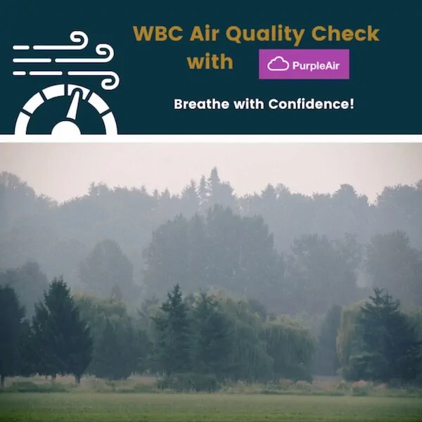
The Alberta Air Quality Health Index (AQHI) map provides a detailed, province-wide map that is updated hourly. The AQHI operates on a 1 to 10+ scale, where 1-3 is low risk, 4-6 is moderate risk, 7-10 is high risk, and 10+ is considered very high risk. The map is an excellent choice for cities and communities but rural areas, such as West Bragg Creek, get lumped into “airshed zones” so the data may not be as accurate as needed. Thankfully there is another option available.
PurpleAir is a company that provides air quality sensors and a real-time air quality map. It’s worth noting however, that PurpleAir uses a different scale than AQHI mentioned above. Their scale operates from 0 to 500, where 0-50 is good, 51-100 is moderate, 101-150 is unhealthy for sensitive groups, 151-200 is unhealthy, 201-300 is very healthy, and 301-500 is hazardous. Bragg Creek Trails installed a PurpleAir sensor in 2023 and has proven to be very useful for those looking for real-time air quality data before venturing out to the trailhead.
As wildfire seasons grow longer and more intense, the impact of smoke on air quality is becoming a serious consideration for anyone who enjoys the outdoors. Whether you’re hiking, biking, running, or simply spending time in nature, poor air quality can turn a day of recreation into a health risk. Staying informed, checking air quality indexes, and knowing when to modify or postpone outdoor plans are essential steps to protect both your health and your enjoyment of the natural world.


