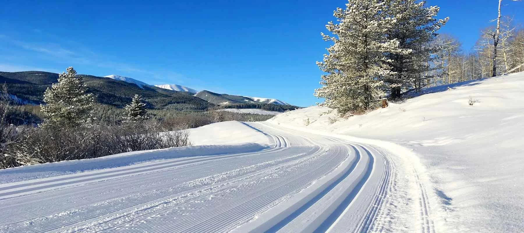
XC SKI

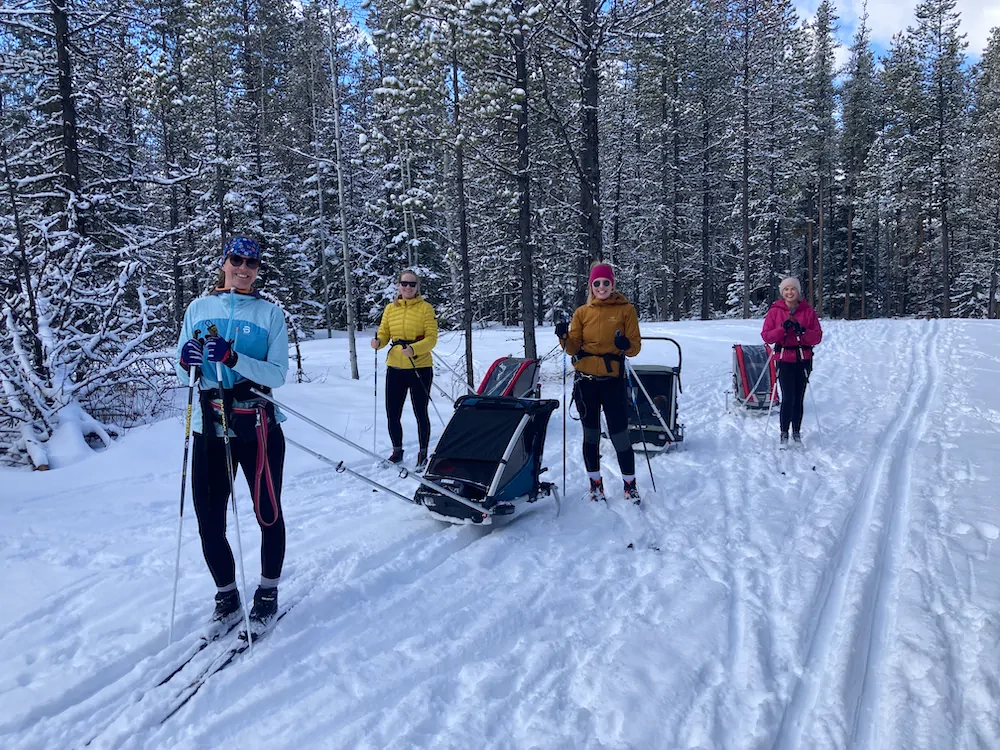
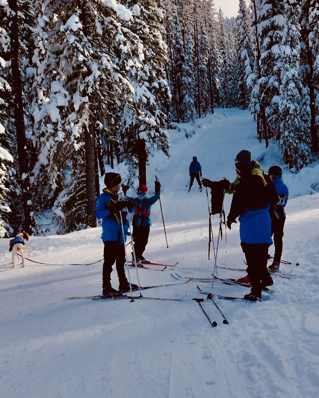
Bragg Creek Trails welcomes everyone from the first time skier to the more experienced.  It’s a family and dog friendly ski centre that welcomes skiers of all ages and abilities.

Want to know the current conditions?

Download Nordic Pulse and stay up to date with BCT trails

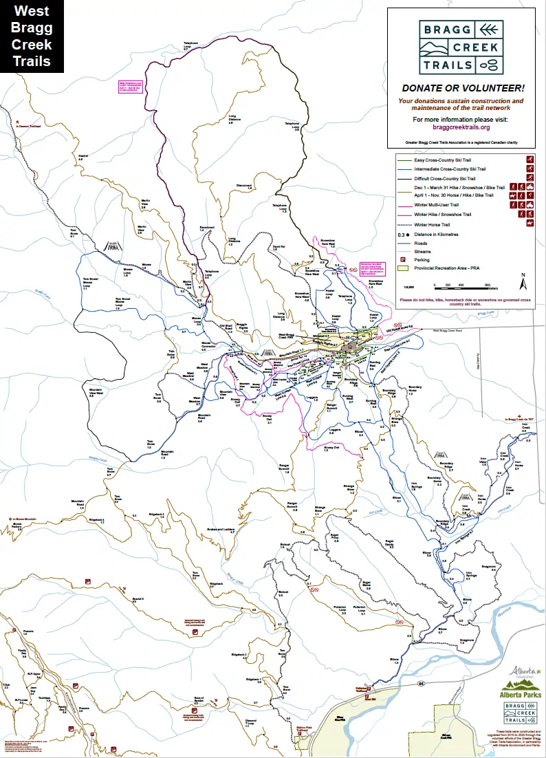
Click map to print or download PDF

About our Ski trails

Bragg Creek Trails features 58.7 km of groomed beginner and intermediate xc ski trails, including 20 km for multi-use which includes both classic skiing and skate skiing.

Bragg Creek Trails is unique from any other trails in Kananaskis Country in that dogs are permitted on the trails and may be off leash on much of the trail network.

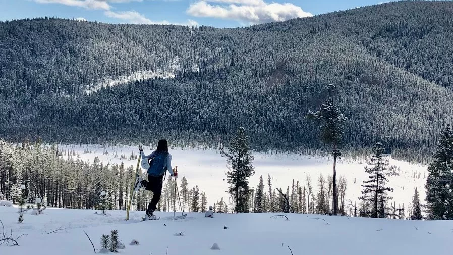
With 17 different XC Ski trails, Bragg Creek Trails offers wonderful views of our Albertan landscape and an opportunity to enjoy the outdoors in the wintertime!

Distance 2.8 km, Elevation 45 m, Rating Easy/Intermediate
East Crystal Line is the core access trail for a variety of loops south and east ofthe WBC parking lot. The initial 100m is an access route for all XC and all-season trail users. After turning east to parallel the access road, the wide, undulating trail is double track-set and groomed for ski skating. About .5km east are two junctions. The first leads onto the steep hill portion of Sundog Loop, the second is along the south perimeter trail and up east Sundog Loop. East Crystal Line continues east, then curves around the north end of Boundary Ridge and up to a higher junction with Sundog Loop.

Distance 3.6 km, Elevation 65 m, Rating Easy/Intermediate
West Crystal Line encircles a group of linked trails that allow you to make an amazing variety of loops south and west of the parking lot. Starting just south of Mountain Road, Lower West Crystal Line heads west and immediately provides the option of going around the easy Chickadee Loop or through the practice grid. After crossing Bragg Creek on a lovely new bridge, you come to the first of 4 connector junctions. Crystal Link #1 (intermediate) takes you up a short hill to Middle Crystal Line. Crystal Links #2 and #3 (easy) connects to Middle Crystal Line and then loops back to Lower West Crystal Line for an enjoyable, novice loop. Crystal Link #4 is a steep hill that makes an exciting intermediate loop with #1 and Middle Crystal Line. Lower West Crystal Line rolls up and down a few times to a major junction with Moose Connector, the new Mountain View trail and a bridge that marks the start of upper West Crystal Line. The upper trail features a several hills and brings you back east to Sundog Loop. Along the way, you have the option of connecting onto Loggers Loop, or Middle Crystal Line or any of the links in between.

Distance 3.8 km, Elevation 60 m, Rating Intermediate
Sundog is a fun loop on it’s own that also serves as the start/finish of longer loops, including the new skate ski loop. From the trailhead, go east on the south perimeter trail, past the equestrian parking lot to the start of east Sundog. Cross a bridge and go up a short hill. Cross East Crystal Line and go up a daunting looking hill. The hill crests at a large meadow and then continues up to the end of East Crystal Line. The rest of Sundog Loop is wide, double trackset and groomed for skate skiing. Going south for .5km brings you to the Iron Springs Trail junction. Turn west to meet Elbow Trail and Loggers Loop junctions, then turn north for the curvy, rolling final leg of Sundog Loop.

Distance 4.3 km, Elevation 100 m, Rating Easy / Intermediate
Iron Springs is a lovely wide, rolling, winding trail that traverses along the west base of Boundary Ridge and Snagmore Hill. It starts at the southeast corner of Sundog Loop and connects near the south end of Elbow Trail. It includes sunny viewpoints, aspen groves and pine forest. It is usually combined with Sundog and Elbow to make a larger loop.
Distance 1.9 km, Elevation 69 m, Rating Intermediate
Iron Creek is a lovely, windy, wooded trail that connects South Iron Springs to Range Road 54. For skiers starting from the West Bragg Creek parking lot this is an out-and-back trip.

multi-use trail – Remember that this is a shared trail so expect to possibly encounter walkers, snowshoers and fat bikes.
Distance 6.0 km, Elevation 120 m, Rating Intermediate
Elbow Trail connects Sundog Loop and the West Bragg Creek trail system to the Fullerton trailhead at Highway #66. It runs along the shady east side of Ranger Ridge, before heading southwest to the Elbow River. Elbow Trail is usually combined with Iron Springs to make a loop that includes Sundog, Loggers or Crystal Line.
You can also start from the Fullerton Trailhead on Highway #66, but check Nordic Pulse first, as the first 2 km is groomed infrequently for XC skiing. The first kilometer of trail from Highway #66 is a brand new replacement for the portion of trail that was lost in the June 2013 flood. The new trail winds across a gentle bench, passing through pine forest, aspen groves and meadows up to the junction with the Fullerton Loop.
multi-use trail – South Elbow Trail
Distance 1.9 km, Elevation 105 m, Rating Intermediate
Loggers is a scenic, hilly semi-circle that connects West Crystal Line with the south edge of Sundog Loop. This is one of the best trails for snow quality. It allows you to make a bigger, more interesting ski out of any loop that combines Crystal Line and Sundog.
Distance 1.5 km, Elevation 70 m, Rating Intermediate
Mountain View extends the XC ski network west from West Crystal Line. It curves through alternating forest groves and cut-block openings and goes up, over and around a set of small hills before connecting with Mountain Road. As the name implies, this trail provides some of the best views in the area.
Distance 3.8 km, Elevation __ m, Rating Intermediate
Mountain View West follows a former logging road and a pipeline right of way to connect the western ends of Mountain Road and Moose Loop. It is an enjoyable undulating trail, with great viewpoints.
Distance 1.3 km, Elevation 45 m, Rating Intermediate
Moose Connector is an important link between the south XC trails and the trails north of Mountain Road. The south half of Moose Connector is a lovely rolling link between West Crystal Line and Mountain Road. The hilly north half of Moose Connector takes you to Moose Loop and the west side of Telephone Loop.
Distance 4.1 km, Elevation 60 m, Rating Easy / Intermediate
The Mountain Road starts from a gate near the SW corner of the parking lot. It is a wide, gentle route that is shared by skiers, dog walkers and other users. (The adjacent Snowy Owl trail now provides a more appealing option for snowshoers and hikers.) Mountain Road is sunny, with good views, but it is also exposed to Chinook winds, so it may have the thinnest snowpack in the trail network. After 1.7km, the trail climbs a short hill to meet Moose Connector and then continues gently west for 2.4 km to the Mountain View West junction.
multi-use trail
Distance 6.3 km, Elevation 80 m, Rating Intermediate
The north half of Moose Connector meets Moose Loop at the top of a short hill. The east half of the Moose Loop begins with a short downhill S-curve, but is mainly gentle, with a few short, steep dips. It is quite open, with views across the broad moose marsh towards Moose Mountain. Because of the exposure to sun and wind, this half may have some areas of thin snow cover. At the north end of the loop is a picnic table, marking the start of the west half of the loop. The west loop is more forested, twisting and rolling. It is sheltered and holds the snow very well. After following the edge of a low escarpment, with views to the east, the trail descends to the marsh, before re-entering the pine forest for the final roller coaster portion back to Moose Connector.
Distance 3.7 km, Elevation 45 m, Rating Intermediate
Starting from the centre of the north side of the parking lot, the Hostel Loop begins with a short, steep uphill climb, which is shared with the Telephone Loop. It levels off and curves north to a junction 0.3 km from the start. The east half of the Hostel Loop passes through sunny aspen groves and several meadows, then curves north over rolling terrain to the second junction with the Telephone Loop. The west half of the loop includes a steady uphill and a long, sweeping downhill glide back to the first junction.
Distance 15.5 km, Elevation 230 m, Rating Intermediate / Difficult
Telephone Loops start at the centre of the north side of the WBC parking lot. This is a challenging multi-user trail that is best suited as a “light touring” loop, unless it has just recently been trackset.  Check Nordic Pulse to confirm the grooming status. The east half of Telephone Loop cuts through the centre of Hostel Loop and you can take either side of Hostel Loop to take advantage of “skier-only” tracksetting to start your tour. North of Hostel Loop, the trail becomes increasingly challenging, with plenty of climbs, descents and sharp curves to the Long Distance trail junction. On the west side, Telephone Loop eases off to an intermediate character to the Moose Loop junction. You can return directly via Moose Connector and Mountain Road, or extend your loop by adding Moose Loop, Mountain View West or West Crystal Line.
multi-use trail
Trail Distance Elevation Change Difficulty
East Crystal Line 2.8km 45m easy/intermediate
West/Middle Crystal Line Loops 3.6km 65m easy/intermediate
Sundog Loop  3.8km 60m intermediate
Iron Springs 4.3km 100m intermediate
Iron Creek (multi-use) 1.9km 69m intermediate
Elbow Trail 6.0km 120m intermediate
Loggers 1.9km 109m intermediate
Mountain View 1.5km 70m intermediate
Mountain View West 3.8km intermediate
Moose Connector 1.3km 45m intermediate
Mountain Road (multi-use) 4.1km 60m easy/intermediate
Moose loop 6.3km 80m intermediate
Hostel Loop 3.7km 45m intermediate
Telephone Loop (multi-use) 15.5km 230m intermediate/difficult

Meet Flora Giesbrecht

FAVOURITE TRAIL:  Moose Loop – in the moonlight

‘Flo’ is a West Bragg resident ski sister – someone people just love. She’s the nordic head coach for XCBC – Bragg Creek’s hugely successful ski and bike club which has introduced thousands of bright eyed youth to the joys of BCT outdoor pursuits. You will know her by that big smile and her impeccable ski technique (and manners).  In her role as Watershed Coordinator for the Elbow River Watershed Partnership, she is also deeply committed to local environmental issues.